


Advanced 3D LiDAR Scanning
This advanced training course is designed to equip participants with the skills needed to operate and apply 3D LiDAR scanning technologies for the highest levels of accuracy in geospatial and structural data collection. The course covers cutting-edge surveying techniques that enable the creation of precise 3D models of complex areas, including infrastructure and terrain.
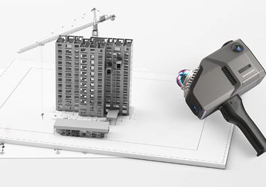
Participants will learn how to operate specialized laser scanning devices that use laser beams to measure distances between the scanner and target surfaces. The course provides hands-on training in efficient data acquisition and the use of advanced software to process and convert this data into detailed 3D models. These models play a critical role in supporting design, planning, and execution in engineering projects.
The course also emphasizes the practical applications of LiDAR scanning in engineering fields such as construction, roadworks, and bridge development. It includes comprehensive methods for data processing and transforming scan outputs into highly accurate maps and surface models for complex site analysis.
By the end of the course, participants will be capable of leveraging this modern technology to significantly enhance the efficiency and precision of surveying and design tasks, ultimately leading to more informed engineering decisions and optimized project planning.
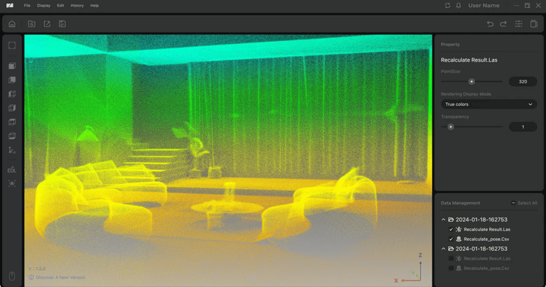
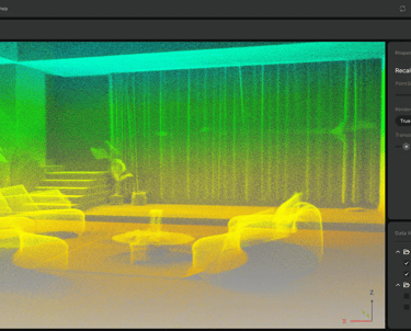
3D Model Generation
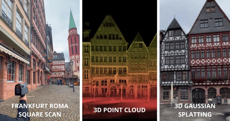
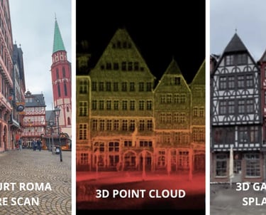
Participants will learn how to convert data collected by LiDAR devices into detailed 3D models using specialized software such as AutoCAD and Revit. These models enable precise visualization of architectural features and terrain, providing a comprehensive understanding of spatial and structural details for engineering and surveying purposes.
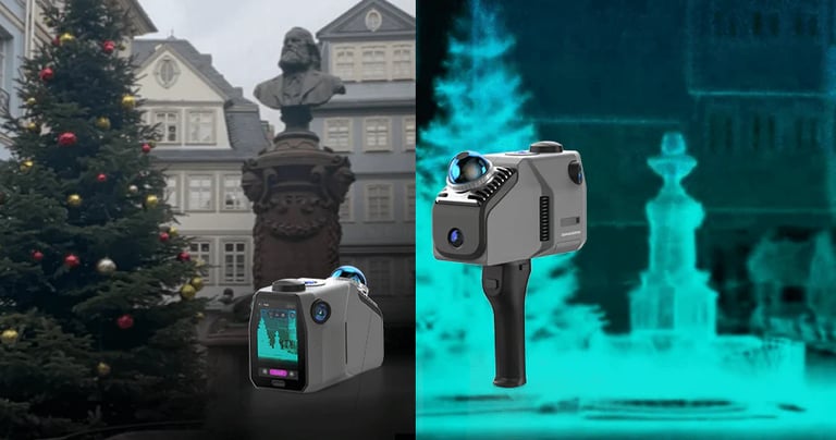
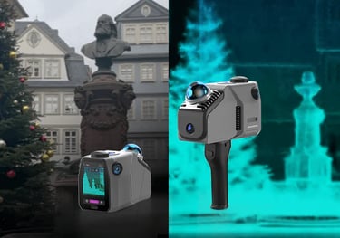
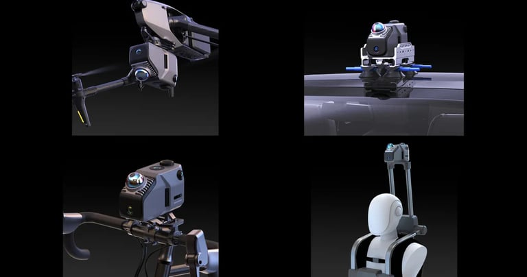
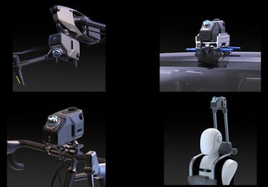
Advanced Use of LiDAR Devices
Participants will be trained on how to operate advanced 3D laser scanning (LiDAR) devices to conduct highly accurate site surveys. This enables the precise collection of topographic data for surrounding environments. The training includes mastering scanning techniques in complex terrains and hard-to-reach areas, ensuring comprehensive data acquisition for various engineering applications.

Core Training Modules
A comprehensive journey that starts from the basics and progresses to mastery in all surveying specialties.
Integration with Other Systems
Participants will learn how to integrate LiDAR data with Geographic Information Systems (GIS) and other engineering software such as Civil 3D and ArcGIS. This integration enables deeper spatial data analysis and supports well-informed engineering decision-making processes.
Field Data Processing and Analysis
The course focuses on how to process and analyze data collected from field surveys using specialized tools to convert raw survey data into accurate maps. Participants will be trained on advanced software to analyze this data and generate comprehensive, detailed reports that support engineering and planning decisions.
Survey Analysis and Reporting
Participants will learn how to transform collected survey data into accurate technical reports that support comprehensive project review. The course will emphasize proper data interpretation and effective presentation tailored to engineering project requirements.
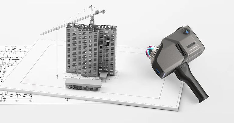
Practical Applications of Laser Scanning
The course covers the practical applications of LiDAR technology across a wide range of engineering projects, including roads, bridges, buildings, and infrastructure. Participants will gain the skills to utilize this technology for rapid and efficient site scanning.
Our Services
Contact
Sales
© 2025. All rights reserved.
We provide surveying solutions
MSI Training Academy
World-class engineering training