


Integrated Surveying Instruments Course
This is a specialized training program designed to equip trainees with the knowledge and skills to operate the latest and most accurate surveying instruments available on the market. The course covers essential devices such as Total Stations, GPS, 3D Laser Scanners, Levels, and Laser Levels, with a focus on their effective use across various engineering projects.
It also includes training on the integration between instruments and engineering software such as AutoCAD and Civil 3D, emphasizing how to utilize these tools to achieve the highest levels of precision and reliability in surveying tasks.
The course offers intensive hands-on training in real-world environments, enabling participants to confidently operate diverse instruments and deliver precise, high-quality results in construction, road, bridge, and infrastructure projects. Trainees will gain the critical skills needed to enhance productivity and foster innovation in the engineering field.
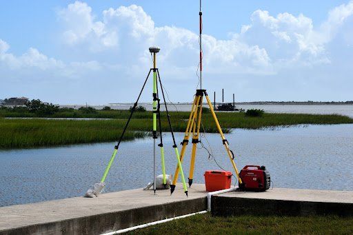
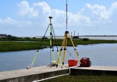
GPS Device (GNSS)
A global positioning system that relies on a satellite network to determine locations with high precision. It is one of the most essential tools in modern surveying, used to quickly and accurately determine positions and coordinates, whether in topographic surveying or construction work. GNSS can operate effectively in diverse and complex environments such as mountainous or urban areas.
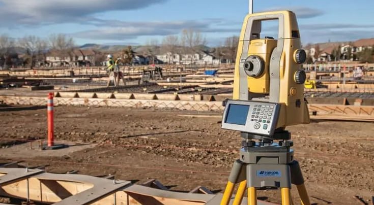
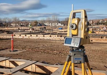
Total Station Device
An advanced instrument used for accurately measuring angles and distances, widely utilized in surveying tasks and engineering projects. It is essential for creating precise maps and designs due to its ability to perform multi-dimensional measurements and instantly convert data into digital models.
Core Training Modules
A comprehensive journey that starts from the basics and progresses to mastery in all surveying specialties.
Level Device
A fundamental surveying tool used to determine elevation differences between various points. It is employed in a wide range of engineering projects to ensure that surfaces or structures are level with the horizon or aligned with specific standards, thereby ensuring accuracy in construction.
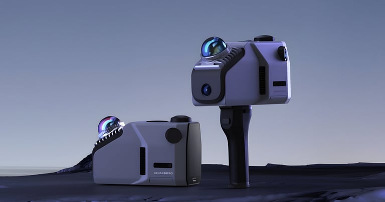
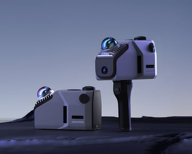
3D Laser Scanner Device
An advanced device that uses laser technology to perform 3D scanning of objects and areas, enabling the collection of precise and detailed data. It can handle large spaces and complex sites, and is used in engineering documentation and digital modeling of engineering and infrastructure projects.


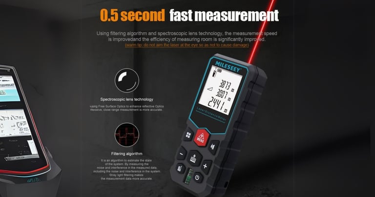
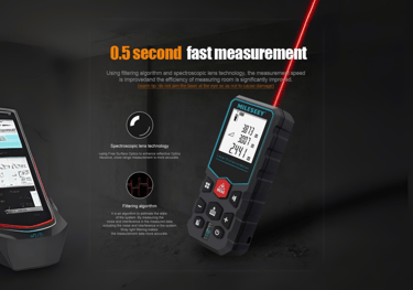
Laser Distance Meter Device
It is an innovative tool designed for measuring distances with high speed and accuracy using laser technology. It can be used in a wide range of applications, from topographic surveying to construction work. The device stands out for its ability to measure long distances easily without the need for traditional measuring tools. It assists surveyors in obtaining precise measurements in various environments, saving both time and effort.
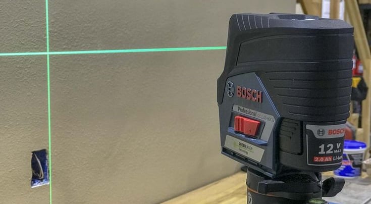
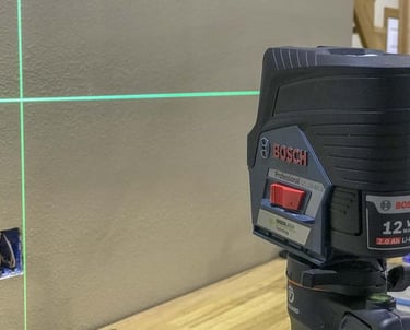
Laser Level Device
A precise tool used to measure and determine levels at various sites. It relies on a laser beam to enhance accuracy and is used to establish level surfaces in construction projects, structural surveying, and interior installations. Its use ensures accurate leveling in foundation work and structural frameworks.
Our Services
Contact
Sales
© 2025. All rights reserved.
We provide surveying solutions
MSI Training Academy
World-class engineering training