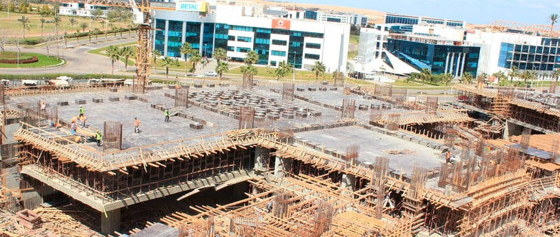
Before starting your project: How can you ensure 100% accuracy of your surveying data?


In the world of engineering and construction, every successful project starts with one crucial step: accurate surveying. Surveying data is the cornerstone of any design, implementation, and monitoring process. If that foundation is flawed, no matter how strong the other elements are, the final result will always be at risk.
But how can you ensure that the data you start your project with is 100% accurate?
The answer begins with solid preparation, professional experience, and the use of precise measuring tools.
At Masriya for Surveying Works (MSI),
Our extensive experience in executing and delivering projects of all sizes has taught us that achieving the highest possible accuracy is not a luxury — it’s an engineering and economic necessity. That’s why we’ve compiled the most essential recommendations and steps that every engineer or surveyor should follow before starting any project.
Essential Steps for High-Precision Site Surveying
1. Review official land documents and approved plans
Always start by carefully reviewing all official documents and approved engineering drawings. Confirm property boundaries, reference points, setbacks, and plot areas — this forms the legal and spatial framework of your work.
2. Establish accurate benchmarks on site
Fixed benchmarks (BMs) form the foundation of all upcoming tasks. These points must be precisely measured, tied to a local or global coordinate system, and installed in a way that ensures their durability over time.
3. Conduct a closed traverse for site control
A traverse is the backbone of your site control. It must be done with precision and properly closed to ensure coordinate integrity and minimize cumulative error. On large projects, a closed traverse balances speed and accuracy.
4. Use Total Station for detailed measurements
The Total Station is your go-to tool for capturing site details — from corners and road elevations to property boundaries. It provides the perfect blend of precision and flexibility for comprehensive site surveys.
5. Use dual-frequency GPS for global and local positioning
Professional-grade GPS offers high accuracy, especially when integrated with fixed benchmarks and reference systems. It’s ideal for determining large-scale site coordinates and linking them to national or regional geodetic networks — especially for remote projects.
6. Use 3D scanning when details or complex sites demand it
For complex environments — like existing buildings or industrial sites — 3D scanning tools such as the Eagle LiDAR Scanner deliver exceptional speed and accuracy. They capture millions of points in seconds, creating a fully digitized representation of the site.
7. Verify and validate data onsite before approval
No device or software can replace field verification. Recheck collected data against real-world conditions and ensure that every point accurately reflects reality. This step is critical before moving into design or construction.
MSI Recommendations to Ensure Survey Accuracy
Don’t rely on outdated data: Even if you have files from a government entity or a consultant, you must verify and update them on site.
Always begin with benchmarks and traverse: Without them, even the most precise tools will produce questionable data.
Organize your data professionally: Use tools like Civil 3D or AutoCAD to organize, document, and categorize every surveyed point.
Use multiple tools when needed: In some projects, we combine Total Station, GPS, and LiDAR to reach unmatched precision.
Invest in team training: Accuracy is not just about tools — it’s also about the expertise of the person using them. That’s why we provide hands-on training for all modern surveying equipment.
In Conclusion: Accuracy Starts with the Right Choice
If you’re wondering how to begin your project with maximum confidence, the answer is simple:
Choose a surveying partner with deep expertise, cutting-edge tools, and a clear, methodical approach.
At Masriya for Surveying Works (MSI), we don’t just deliver maps — we deliver trust, precision, and a solid foundation for any project.
Start right… start strong.
Our Services
Contact
Sales
© 2025. All rights reserved.
We provide surveying solutions
MSI Training Academy
World-class engineering training
